Blog

21 Jun

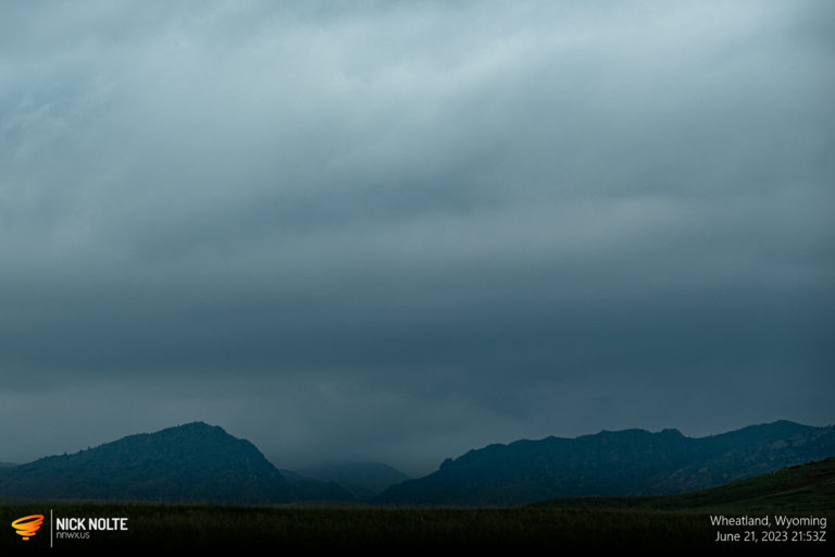
June 21, 2023 – Wheatland, Wyoming

The second day of a week long chase vacation in late June featured strong easterlies advecting very moist air into the Central High Plains across Colorado and Wyoming. Some places were expected to reach low 70°F dewpoints which is pretty nuts for the area. The Denver Cyclone was expected to be active but really anywhere from Douglas to Denver was looking pretty good. When you get 3,000 J/Kg of CAPE in Wyoming or Colorado, you figure out how to be there.

Read more
20 Jun

June 20, 2023 – North Dakota

June 20th was the week I finally decided to head out and roam the plains for a whole week. While I wasn’t expecting anything spectacular, it did appear we’d get storms everyday for the next five days, so that’s pretty good. Anyway, way up north a cool front was extending from Northern North Dakota down into South Dakota. As the upper level energy began to encroach on the Northern Plains it appeared there’d be a decent chance at severe weather.

Read more
11 Jun

June 11, 2023 – Southeast Colorado

In a post-frontal upslope regime, easterly surface flow was forecast to transport a moist boundary layer towards the foothills, especially into the Raton Mesa and Southeast Colorado. While CAPE was expected to be meager, it would be sufficient enough for supercells to form which would then move southeast into the Plains. While tornadoes were unlikely, they could not be ruled out.

Read more
03 Jun

June 3, 2023 – Supercell Near Home

June 3rd wasn’t really a chase day. Most of Texas was within a marginal risk with a sliver of slight along the Rio Grande. The rest of Tornado Alley was just in the general thunderstorm outline. Severe weather wasn’t really in the cards. Weak flow across the middle of the country as an omega block persisted caused nebulous flow at 500mb topping out at 30kt over Nebraska.

Read more